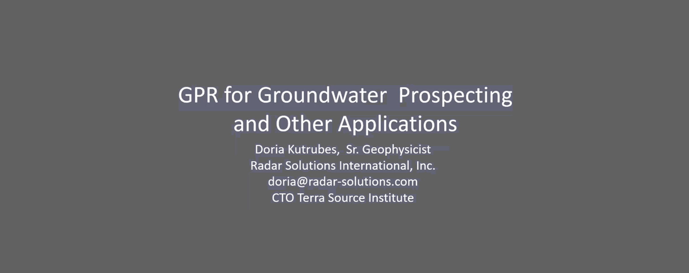
GPR For Groundwater Prospecting
Doria L. Kutrubes, M.Sc., P.G.
Ms. Kutrubes’ GPR presentation to students and faculty at Dine College covers the following topics:
GPR Theory
GPR Systems and Survey Design
Overview of GPR Applications
Other Geophysical Methods
GPR For Groundwater Prospecting: Introduction
The full webinar with an introduction of Ground Penetrating Radar (GPR) theory is outlined. GPR uses high-frequency electromagnetic waves to transmit a GPR signal into the ground and detect reflected waves from subsurface anomalies, which are the differences in electrical and physical properties of materials. GPR reflections occur due to the material’s Real Dielectric Permittivity (RDP) and the RDP difference between two materials. These contrasts in electrical properties include conductivity, water content, clay content, porosity, and density. RDP also describes how the charge accumulates and polarizes at the material surface.
GPR provides the best resolution of all the subsurface geophysical methods. Several GPR surveys are highlighted, along with other geophysical methods that are usually combined with GPR.
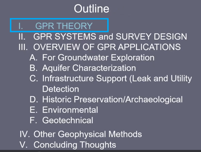
I. GPR Theory
Kutrubes covers basic GPR theory and includes its advantage and limitations. The GPR detects reflections of metal targets, voids, and those due to changes in water tables and stratigraphy. Some basic formulas for the reflection strength coefficient and medium velocity are explained. Also covered are all types of GPR losses, which are due to conduction, scattering, polarization, molecular relaxation, and clay.
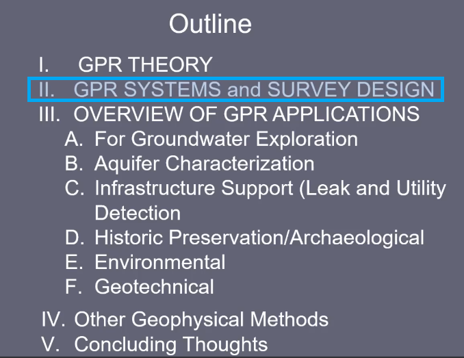
II. GPR Systems
Kutrubes describes different GPR Systems, including their applications, advantages, and limitations.
Several GPR systems and their components are presented. For highway surveys, the GPR radar systems used are the GSSI SIR-20 with a 1 GHz or 400 MHz Antenna (GSSI SIR 20 Link), GSSI Mini GPR (Hand held GPR Link), Sensors & Software (S&S) Pulse Ekko 500 MHz (pulseEKKO Link), S&S Noggin 250 MHz (Noggin Link). Commercially available antennas have frequencies ranging from 40 MHz to 2.6 GHz, so antenna selection can be used for a trade-off between resolution and investigative depth of the survey maps.
Basic GPR concepts are covered here in addition to a step-by-step guide to GPR depth-slice imaging and processing using GPR-Slice software (GPR-Slice Link, GPR Data Analysis & Visualization).

II. GPR Survey Design
Kutrubes describes the different types of GPR surveys as well as the appropriate GPR systems.
It covers in-depth how to optimize a GPR survey starting with the survey objectives or goals, choice of appropriate GPR system, radar antenna, set up of a grid-based line survey with or without a GPS, data acquisition parameters such as velocity of radar waves and depth, and how to process the data and present the results. When designing a GPR survey, check if subsurface material is detectable using GPR by making sure there is enough contrast in terms of the minerology and lithology of soil, fill, and bedrock. In addition, look for the degree of saturation (bound/free) and the amount of attenuation due to wetness that is acceptable. Also consider the density of soil, bedrock, and fluid to be able to identify NAPL (Non-Aqueous Phase Liquid) trace through the groundwater. Finally, is the detectable material a stratigraphic feature or a specific target? For underground targets such as storage tanks, a fine line spacing is required to determine the edges of the target. For stratigraphic features, use a coarser line spacing to locate bedrock based on the saturated thickness. In addition, if the GPR survey is conducted on pavement, then determine the type of pavement. If the GPR alone does not satisfy the survey goals, then consider combining it with other geophysical methods.
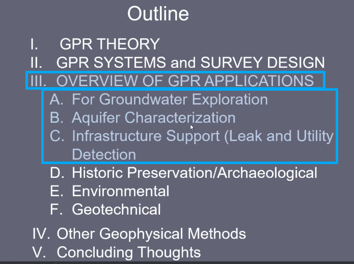
III. ABC Overview of GPR Applications
A. Groundwater Exploration
B. Aquifer Characterization
C. Infrastructure Support
Kutrubes covers several groundwater explorations for finding potable water supplies and protecting them. She addressed all of the key points in a GPR survey design and the analysis of the GPR acquired data in locating the bedrock fractures and aquifer characteristics. The water supply GPR surveys are:
Location of bedrock with significant saturated thickness for potable water supply
Using a 250 MHz antenna for potable water supply along the Merrimack River
Other aquifers, near managed wells, where saturated thickness is deepest. These aquifers can be in the soil of a semi-confined aquifer. Kutrubes provided many helpful pointers in determining the aquifer characteristics and the types of fractures by considering both high hydraulic conductivity and granular material.
Location of a shallow bedrock water supply on an old farm that was converted to a soccer field.
Location of fractures within limestone rock for potable water supply around a sacred Native American gathering place.
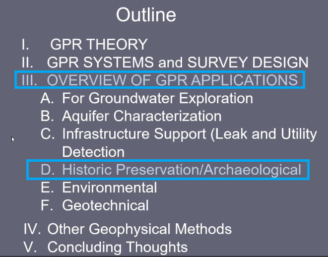
III.D Historical/Archeological Preservation
GPR surveys can be instrumental in locating subsurface historical artifacts, hence avoiding their damage before digging or clearing any area for construction. Kutrubes presents a few historic preservation and archeological surveys:
in White Sands, Alabama
A colonial era mansion in Massachusetts
Unmarked Native American graves in Massachusetts
Ancient graveyards in Greece
Stone structures and barracks foundations at Valley Forge, Pennsylvania
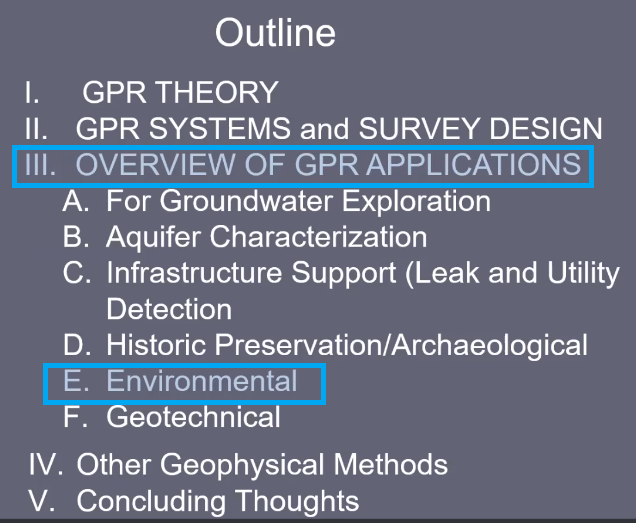
IlI.E Environmental
GPR is used in environmental surveys to find abandoned underground storage tanks or other buried utilities. Depth slice imaging is a reliable approach to accomplish this objective.
Kutrubes used GPR surveys to locate a swath of dense NAPL that got into the groundwater in a Maine superfund site. NAPL tracing can be done by identifying the contrast between the non-aqueous liquid contaminants (e.g. hydrocarbons) and the sand gravel. This, along with analyzing the stratigraphy of the survey area, led to the location where the dumped dense NAPL seeped into the groundwater.
Kutrubes also used GPR for landfill characterization. By analyzing 2D radargrams, she determined the dipping features.
Kutrubes uses GPR for other geotechnical applications, such as the location of buried fiber optics, so that no damage occurs when selecting areas to dig boreholes or plant trees. Other environmental surveys she conducted to locate were:
Underground plastic pipes in a construction site.
Conduits emanating from the mechanical room in Quinnipiac College, CT.
Voids underneath the highway or city pavements.
Unstable sections of rail ballasts as the freight trains are passing.
Post tension cables in structures to check on required rebar spacing in buildings.
Voids and water leaks in an aqueduct tunnel in New York City .
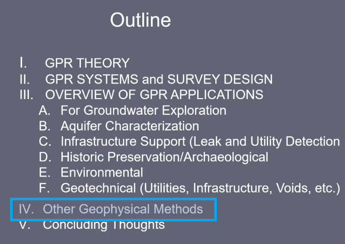
IV. Other Geophysical Methods
GPR can be combined with other geophysical methods. Kutrubes covered many of these in another TSI webinar (Water Prospecting Methods). These methods include the Gravity method, Electrical Resistivity Method (ERT), Seismo-Electric method, and Lidar. She combined GPR with these geophysical surveys:
The Gravity method is based on Newton’s Gravitational Law where the perturbational field is evaluated to localize the small anomalies in the regional gravitational field. It was used to locate leaks in an aqueduct.
Electrical Resistivity Tomography (ERT) is based on the principle of Ohm’s Law and measures an apparent electrical resistivity (Ohmmeters) to create tomographic images to reveal weathered or soil bedrock and fractured zones. It is used to characterize water or NAPL (e.g. hydrocarbons) bearing fractures into the bedrock.
The Seismo-Electric method measures the apparent resistivity and is effective in groundwater prospecting and finding bedrock structures hundreds of meters deep, and highly effective in locating geothermal sources. Tomographic images were analyzed to locate fractures in the bedrock.
Lidar produces 3D photogrammetry (The GeoNAV Group) of scanned images of landscape features. This method was used to image the Turtle Effigy Mound for the preservation and protection of a Native American historical site (OPNAAC).